


Castle Mt Sunrise peak; Seongsan ilchubong / Jeju travel
2013. 11. 9. 15:47 |
Story of Jeju/UNESCO Natural heritages
*Notice- this article is written by non native English speaker

'Seongsan ilchulbong' hydro crater is the most famous tourist spot in Jeju island.
it rose from under the sea in a volcanic eruption over 5,000 years ago and this crater is the youngest one in Jeju island. Seongsan ilchulbong means 'Castle Mt Sun rise peak'.
It is registered by UNESCO as natural, geological heritage.

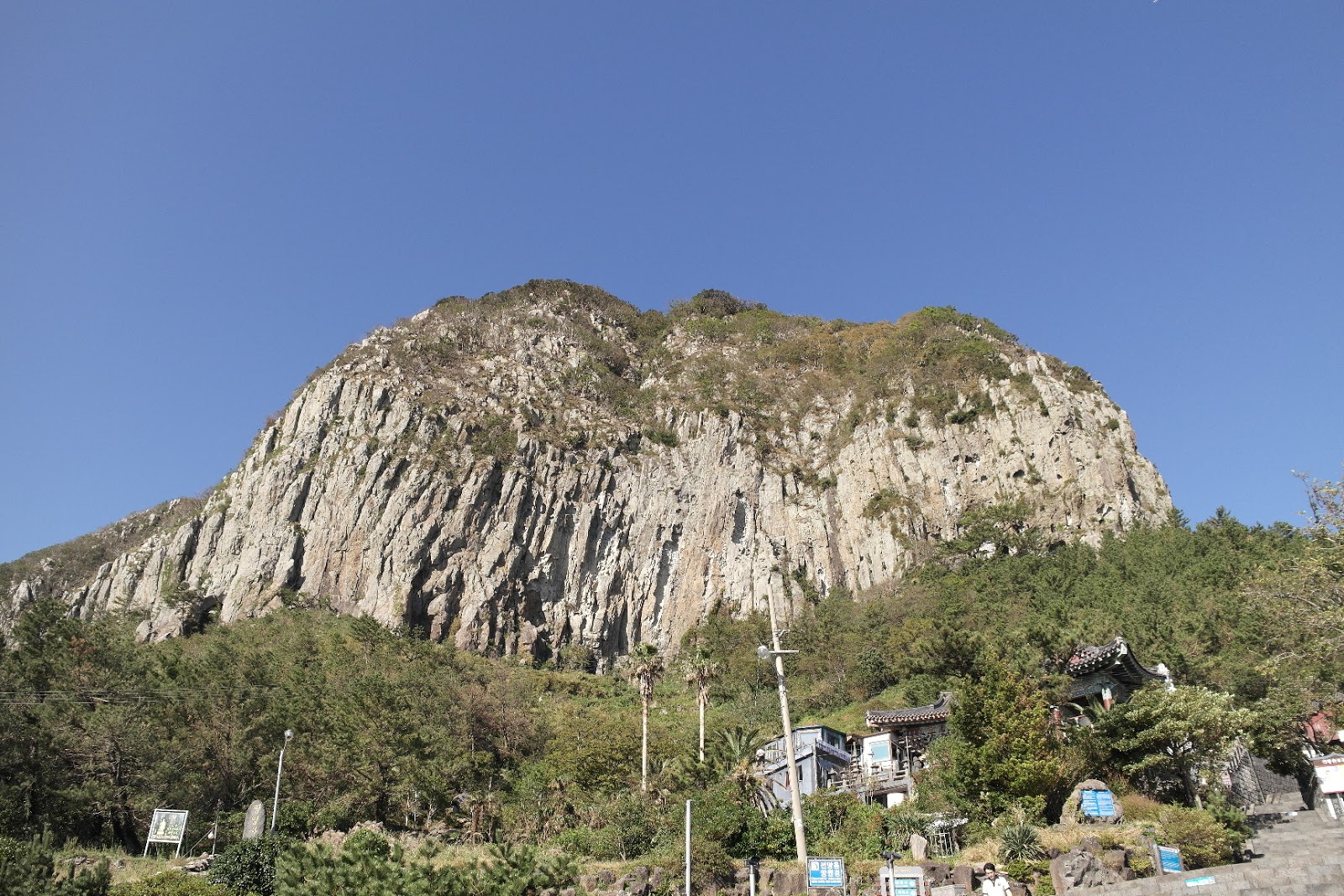
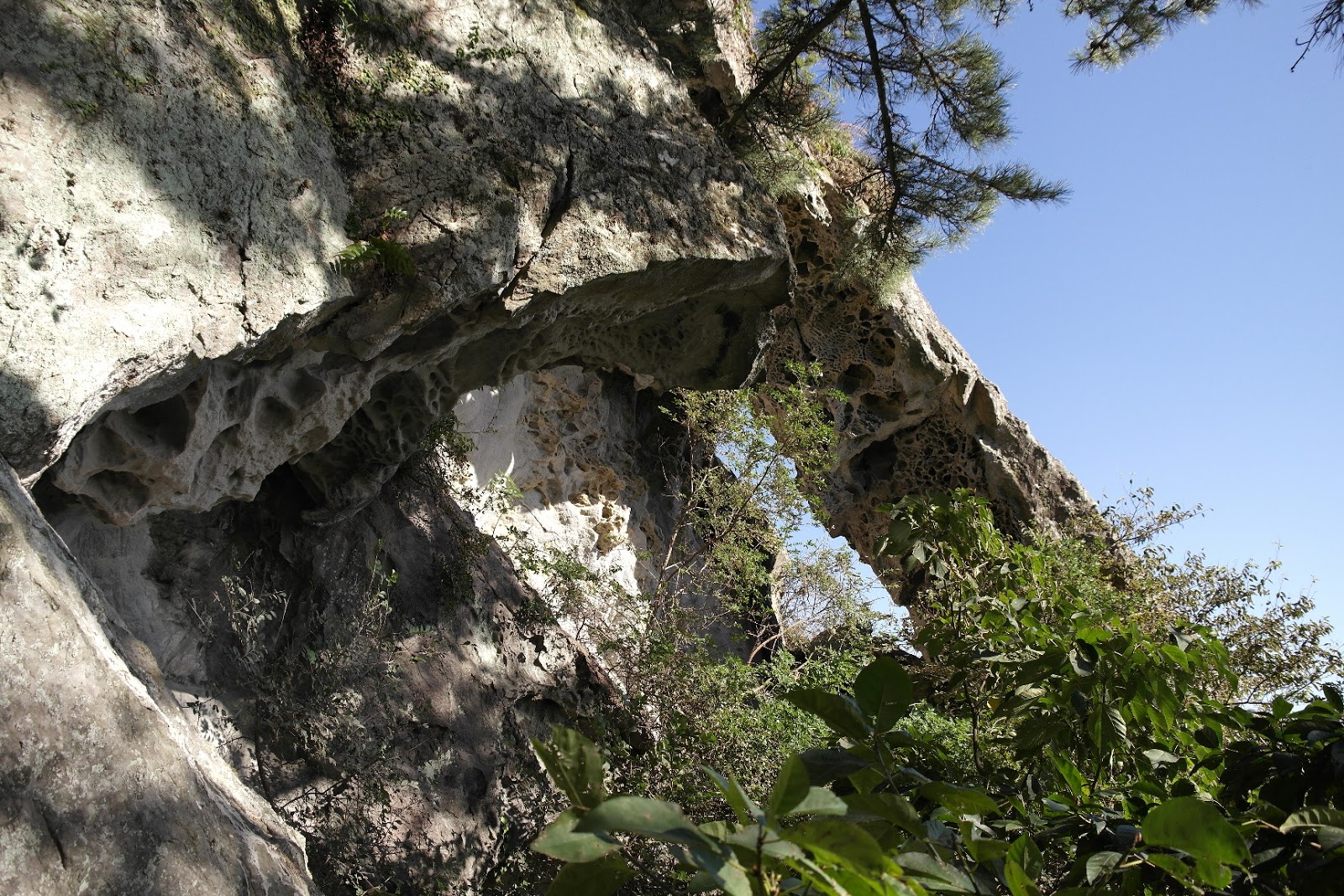
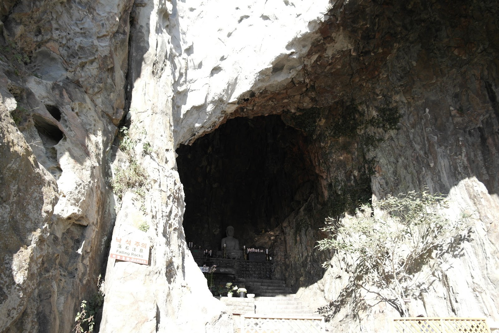
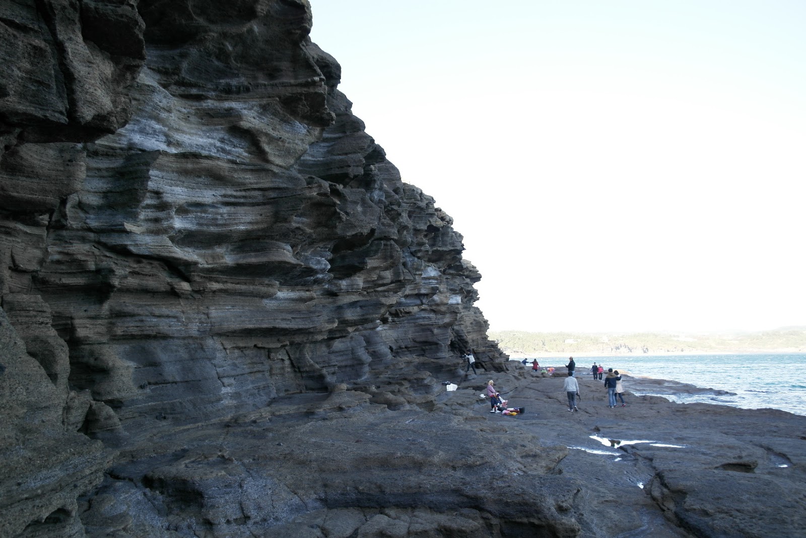
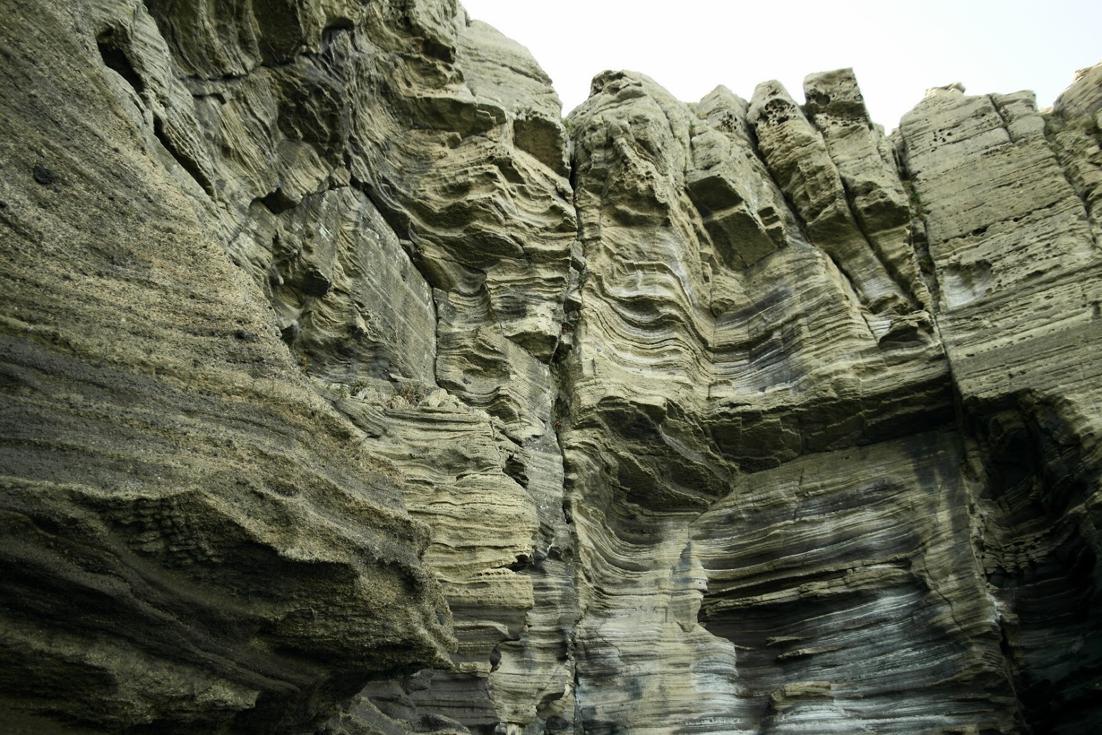
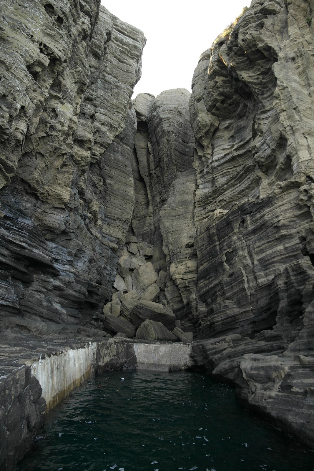
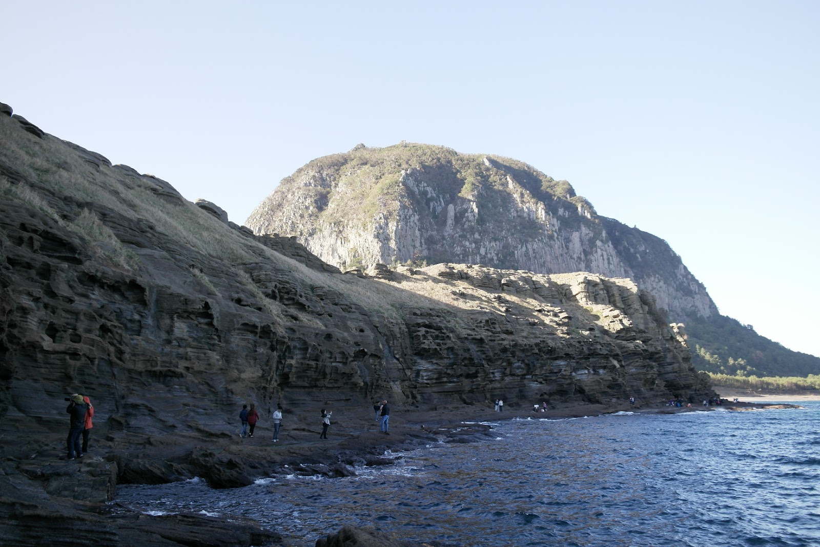
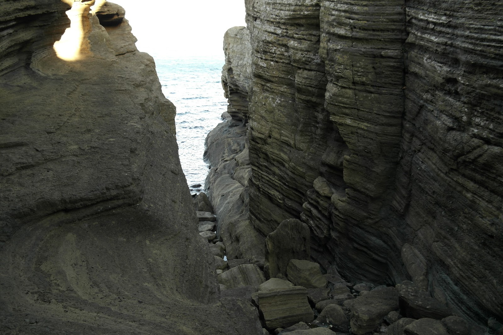
Eroded cliff on the crater
Actually at first when it was erupted it was normal shape of crater but it has been eroded almost half of them for 5000 years. Geologists say that the eroded cliffs on the crater is valuable to study hydor volcanoes because it shows all the process of eruption. They can see the clear sedimentary layers on the rock.


It shows different figures on different angles
It is located the eastern end of jeju island that's why it is called 'Sun rise peak'. Every new year day the top of 'Seongsan ilchulbong' is crowded with people to see sun rising. If you are lucky you can see the magnificent sun rising but most of the days are clouded.
The similar volcano to 'Seongsan ilchulbong' is 'Surtsey' in Iceland. Comparing two volcanoes is that 'Surtsey' is too young to show all the process of eruption on the cliff while 'Seongsan ilchulbong' shows clearly.

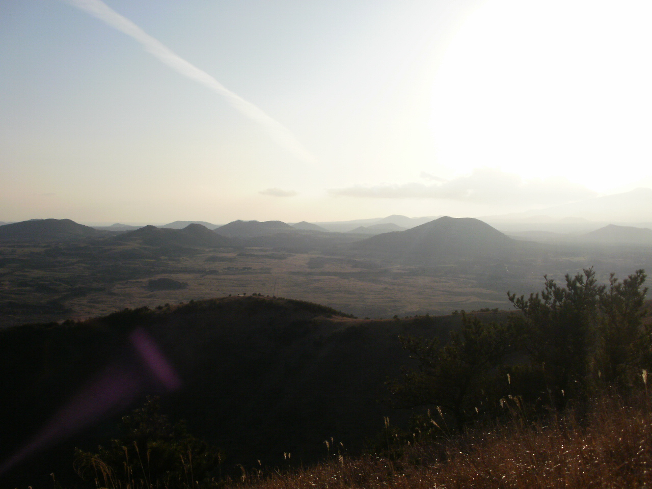
Surtsey island in Ice land
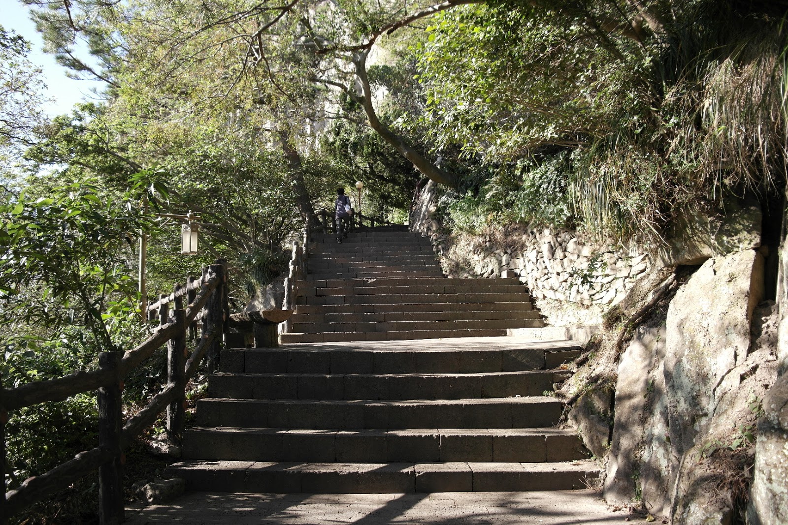
After 5000 years later 'Surtsey island' will be like 'Seongsan ilchulbong' I guess. The steepness and narrowness of the cliff make 'Seongsan ilchulbong' more visually appealing. It takes around 30min to go to the top and during your climbing up , you will get a quite cool view of Seongsan village. Actually 'Seongsan ilchulbong' was independent island from jeju but Japanese has connected it in early 1940s to use this crater as military base.

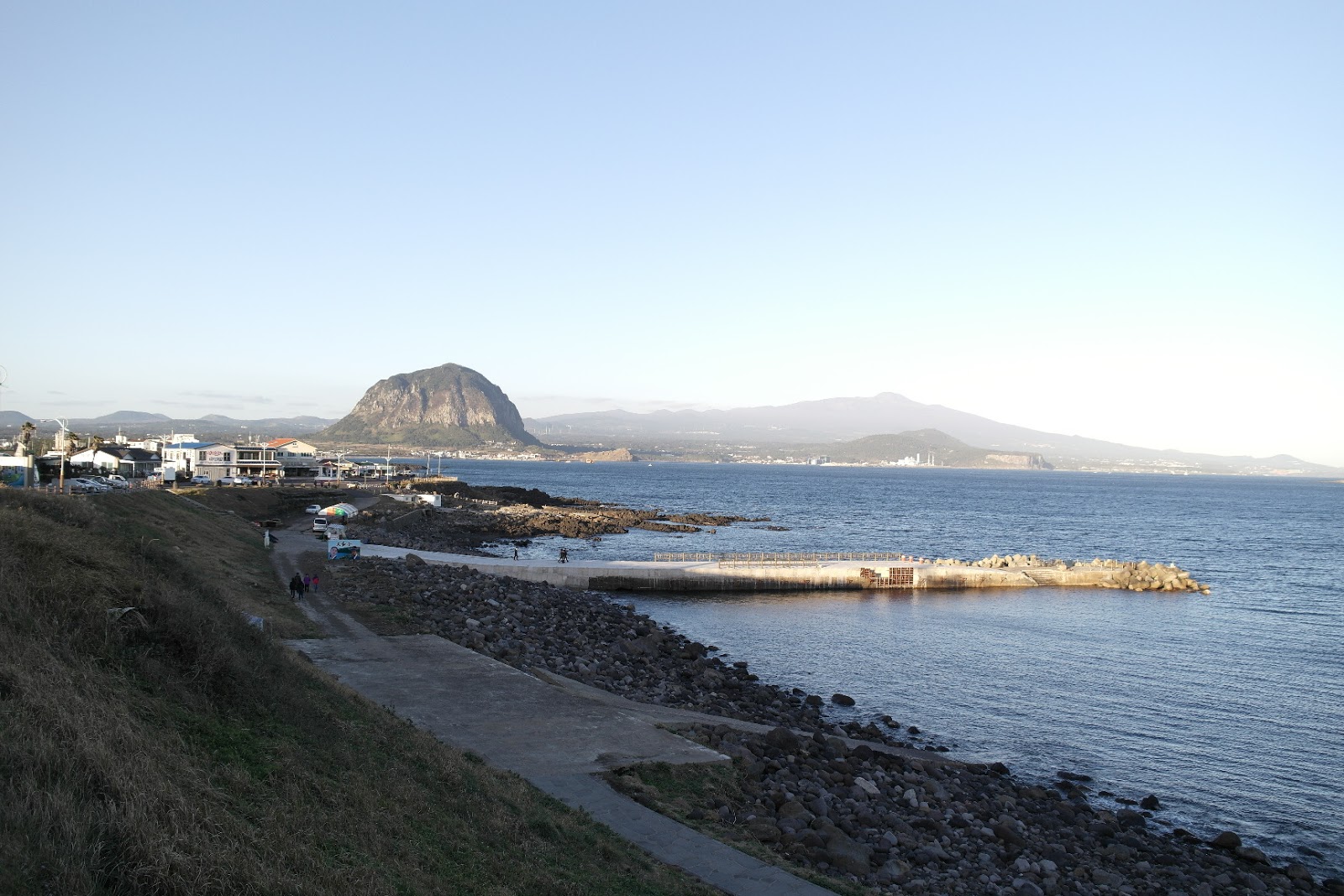
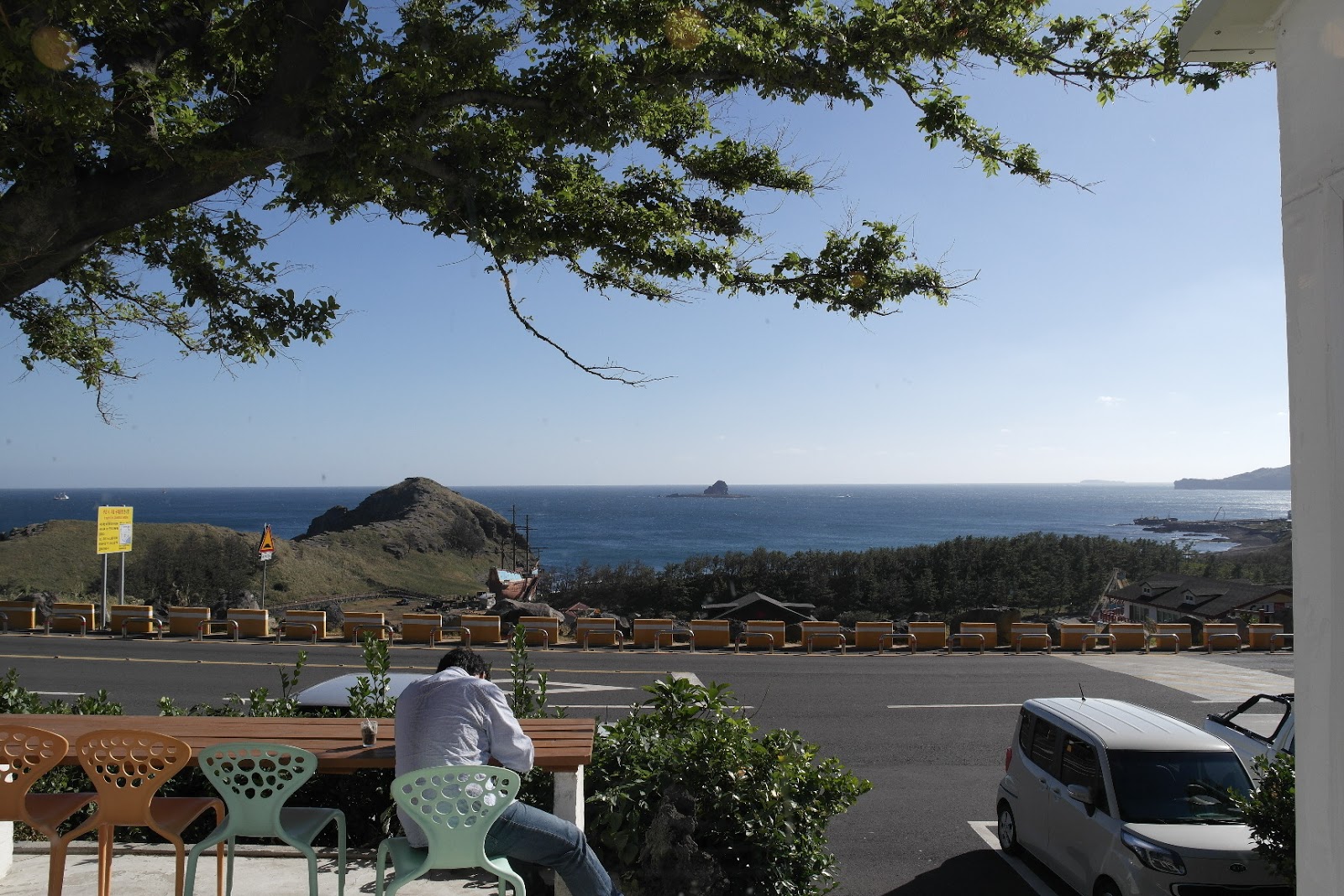
view of Seongsan village
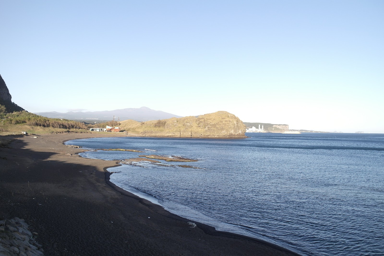
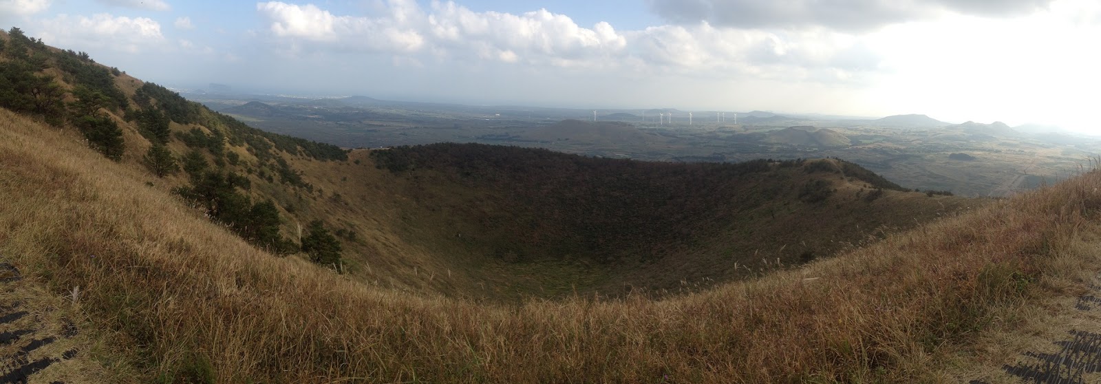
Not many people know that 'Seongsan ilchulbong' is a second crater. First crater is located on the east side of 'Seongsan ilchulbong'. It was erupted 300,000 years ago and it has been almost eroded. One interest thing is that the colours of rocks of the first crater is red because when it was erupted the level of sea was much below. And that atmosphere made the lava cool down slowly.

the first crater in Seongsan ilchulbong
You can see the points on the top. There are 990 points on the top. When you see 'Seongsan ilchulbong' from the ocean it looks a huge castle because of the points.

I think 'Seongsan ilchulbong' is the place worth to visit in jeju island. Try to be a geologist, then it intrigue your interest. Don't you think so?
more information click here http://en.wikipedia.org
'Story of Jeju > UNESCO Natural heritages' 카테고리의 다른 글
| (Jeju travel Mr Dee) ‘Gotjawal’ The lava forest in Jeju island. (1) | 2025.01.19 |
|---|---|
| The highest holy mountain in South Korea; Halla Mt (0) | 2013.11.09 |


